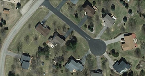
Fly Dane is a regional partnership that allows local agencies to pool their resources for periodic updates of orthophotography, elevation, and planimetric data.
Dane County participated in a federal GIS demonstration project (OrthoFinder) with the Wisconsin State Cartographer’s Office, University of Wisconsin-Madison, Wisconsin Dept. of Natural Resources, the City of Madison, and Ayres Associates. The project investigated issues related to the discovery, access, and use of digital orthophotography acquired by different agencies, at different times, over the same geography. View the full case study here!
The following organizations are members of the Fly Dane partnership. The partnership works together to periodically acquire and update countywide aerial imagery and related products. If you are interested in being a Fly Dane partner, please contact Fred Iausly (iausly@danecounty.gov).
Department of Transportation/SW District
UW Police Department
Madison Metropolitan Sewerage District
American Transmission Company
Madison Area Metropolitan Planning Organization
Blooming Grove
Bristol
Burke
Cottage Grove
Cross Plains
Dunn
Middleton
Rutland
Springdale
Verona
Vienna
Westport
Belleville
Black Earth
Blue Mounds
Brooklyn
Cambridge
Cottage Grove
Cross Plains
Dane
Deerfield
DeForest
Maple Bluff
Marshall
Mazomanie
McFarland
Mount Horeb
Oregon
Shorewood Hills
Waunakee
Windsor
Edgerton
Fitchburg
Madison
Middleton
Monona
Stoughton
Sun Prairie
Verona
Attend a partner meeting! Contact us for the date, location, and agenda for our next meeting.
The importance of robust quality assurance and quality control for orthophotography and related deliverables cannot be overstated. An important aspect of the Fly Dane project is the close working relationship between the contractor and the County on quality control. Because of the huge dollar investment, the project represents and because the work is accountable to so many partners, the County conducts a second level of review on the project deliverables.
As imagery comes in from the contractor, Dane County staff, using an ArcView application, reviews the imagery for large dust spots or scratches, ghosting, and warping. An ArcView Shapefile is generated noting the location and type of problem found. This process allows the contractor staff to quickly review the Shapefile and correct any problems with the imagery. Generally, imagery is reviewed, returned, corrected, and sent back to the County within five business days, causing no delay to the project schedule. The review process is beneficial to all parties, provided additional quality assurance and automated processes that assure fast, efficient, and consistent review.
