Seal of Dane County County of Dane
Translate
Site Logo

Dane County Land Information Office

Welcome!

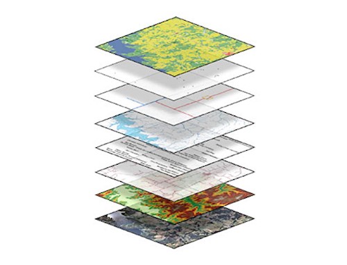
Dane County Land Information Office develops and maintains digital geographic and land information sytems for government agencies. It also maintains mapping and data services for residents and businesses.

Stacked layers of of map
Open Data Portal

Explore and download GIS data, and discover web applications and other geographic content from Dane County contributors


View
Map with pin
DCiMap

Dane County’s on-line interactive mapping application

View
Access Dane logo with text "geographic and land information" and an outline of Dane County highlighted.
Access Dane

Dane County’s access point for land & geographic information

View
Logo with a green background, blue airplane icon, curved blue accent, and the text Fly Dane written in bold white letters.
Fly Dane

Fly Dane is a regional partnership that allows local agencies to pool their resources for periodic updates of orthophotography, elevation, and planimetric data

View